Drone Deployment Facilitates Assessment of Challenging Site
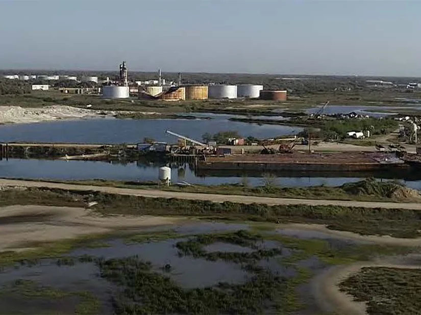
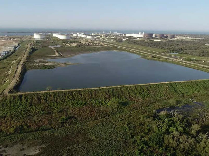
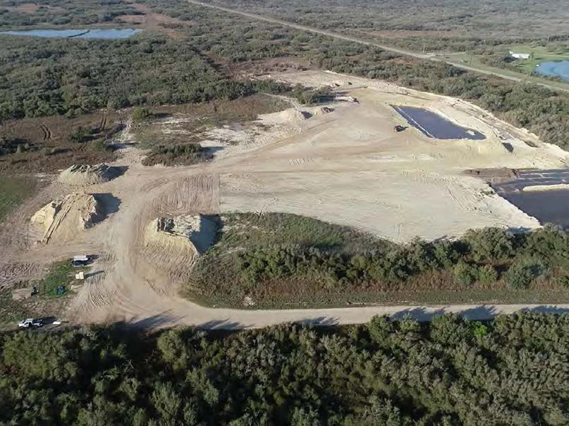
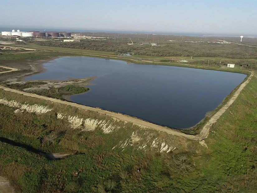
For a Phase I Environmental Site Assessment (ESA) of a 578-acre property in San Patricio County, TX, GES used sUAS to overcome significant access and safety challenges posed by dense vegetation, impassable terrain, and dangerous wildlife. By flying the drone over the property and its perimeter, GES created an orthomosaic map, a 3D map with point clouds, and a topographic heat map. This method allowed for a comprehensive visual inspection and documentation of potential Recognized Environmental Concerns (RECs) in a fraction of the time it would have taken on foot, reducing field time by over 50% and significantly mitigating health and safety risks for personnel. The drone successfully captured videos and photos of the site and surrounding properties that would have been impossible to obtain otherwise, ultimately increasing the project's efficiency and the quality of the due diligence process.